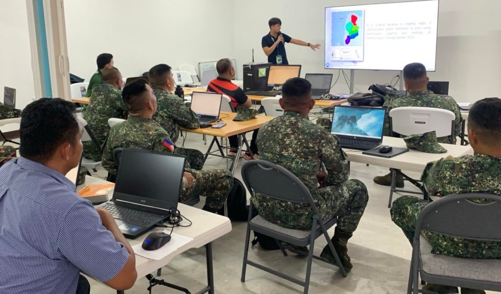
SUBIC, Zambales– The Department of Environment and Natural Resources (DENR) here has helped strengthen the technical capability of the Philippine Marine Corps by facilitating a three-day Basic Geographic Information System (GIS) Training for personnel of the Combat Engineer Battalion at the Naval Operation Base Subic in Zambales.
DENR Regional Executive Director Ralph Pablo said the activity supports the responsible and practical use of geospatial information in environmental management, disaster preparedness, logistics, and field operations.
“By sharing GIS knowledge with our partners, we help strengthen their capacity to make informed, data-driven decisions in the field,” Pablo explained.
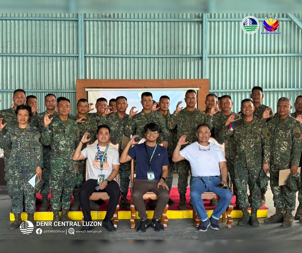
He added that the partnership opens opportunities for continued technical assistance, data sharing, and capacity-building activities that support environmental stewardship and national security.
Led by the GIS Unit under the Surveys and Mapping Division of DENR, the training covered basic GIS applications such as terrain analysis, route mapping, threat assessment, operational map preparation, and use of remote sensing and Global Positioning System technologies. (Text and photos courtesy of DENR Central Luzon)


Leave a comment